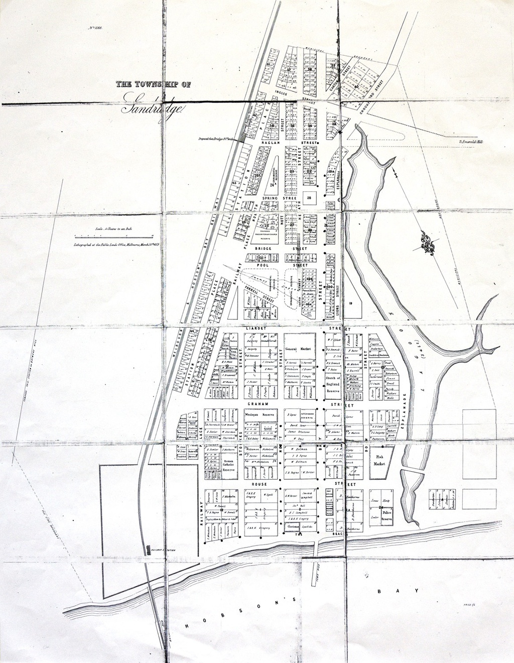
'Sandridge Map, 1855' - Source: Courtesy of the Port Melbourne Historical and Preservation Society.
1855 Map
This is an 1855 map of Sandridge. If you look at the map, on this corner there used to be a large fish market, now replaced by a large apartment complex.