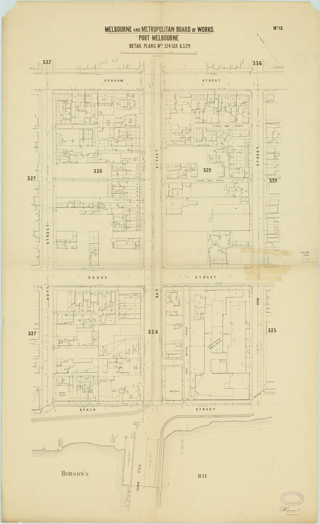
In this map of Port Melbourne from 1895 you can see early businesses on Bay Street and the surrounds. At the bottom centre of the map you can see the old Pier, now replaced by the Yacht Club.
by pastportproject on Oct. 5, 2015Please login to comment on this item