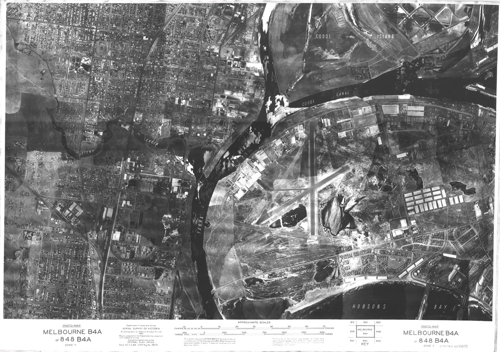
This is a 1945 aerial photo of Fishermans Bend, taken by the Department of Crown Lands and Survey. You can see in the centre of the image the old Fishermans Bend aerodrome, which closed down in 1957.
by pastportproject on Oct. 30, 2015Please login to comment on this item