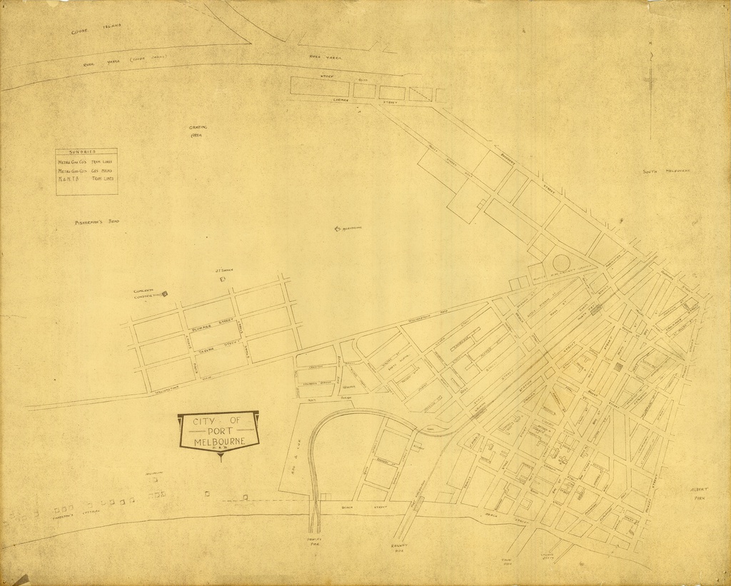
This is a 1931 map of Port Melbourne. You can see difference in the early layout of the suburb at this time, particularly to the South of Graham Street, and the beginnings of the Garden City development.
by pastportproject on Oct. 30, 2015Please login to comment on this item