-
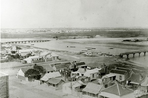
Lagoon
View of the former saltwater Sandridge Lagoon from the Sugar Works, taken in 1873. The Graham Street Bridge is to …
pastportproject
0 -
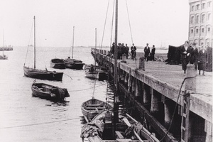
Lagoon view
View along the jetty of the Sandridge Lagoon besides Harpers Oatmeal and Starch Factory complex. You can see the remnants …
pastportproject
0 -
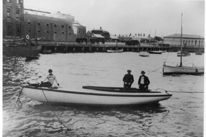
Lagoon 1920
The Sandridge Lagoon looking towards Rouse St in 1920. The Lagoon, which ran all the way up to Ingles Street …
pastportproject
0 -
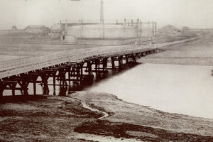
Gas works
In this photograph you can the Metropolitan Gas Company Works, just behind the old Graham Street Bridge. William Westgarth writing …
pastportproject
1 -
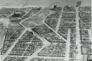
Aerial View
Aerial view of Port Melbourne and Sandridge Lagoon, 1931. You can still see the outline of the former inland body …
pastportproject
0 -
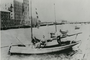
Lagoon and the wharf
The Sandridge Lagoon and the wharf outside Harpers Oatmeal and Starch Factory complex, 1900-1929.
pastportproject
0 -
HMAS Lonsdale
These significant sites on the north and south sides of Rouse St were the home of HMAS Lonsdale, a training …
cityofportphillip
0
